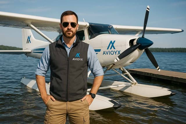
Master Floatplane Ops with Precision
Track water ops, tides, anchorage, and flight logs built for amphib pilots.
Log Float Flight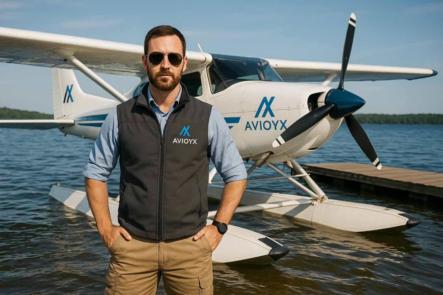
Water Runways
Tide & Wind
Dock Logs
Float Reports

Optimize Every Float Flight
- Access detailed water runways and docking points.
- Plan around tide, wind, and visibility conditions.
- Visualize routes for cabin drops or survey ops.
- Log maintenance for floats and amphib gear.

Track Floatplane Work with Confidence
- Dock Logs: Save time & location with auto-record
- Float Maintenance: Track cycles and inspections
- Weather Insights: Plan by tide, wave, and wind
Built for Floatplane Operations
Water Runway Directory
Access a global map of lakes, rivers, and coastal strips with surface type, current reports, and seasonal closures.
Float Performance Planner
Calculate takeoff/landing distances based on float type, water condition, loadout, and wind factor.
Tide & Wind Integration
Sync tide charts, wind direction, wave height, and water currents to assess go/no-go ops in marine conditions.
Docking & Anchorage Logs
Log docking type (beach, dock, ramp), condition, tie-down methods, and equipment used at each water location.
Special Ops Logging
Track missions like fishing charters, backcountry deliveries, and remote scientific support flights.
Float Rating & Certification Tracker
Track dual instruction, solo hours, and FAA float checkrides, including sea rating endorsements.
Mission Reports & Compliance
Generate PDFs for each float mission including load manifest, pax count, operator details, and anchorage data.
Photo Geo-Tagging
Attach photos of remote destinations, docks, wildlife, or anchorage points with GPS and weather stamp.
Bush Ops & Cabin Delivery Tracking
Log bush landing locations, coordinates, drop-offs, and goods delivered to wilderness cabins or research teams.
Offline Mode for Remote Flights
Plan, record, and sync water landings and logs without internet, perfect for backcountry and off-grid flying.

Floatplane Tools & Mission Support
- Access cabin delivery templates and cargo ops logs
- Float-specific maintenance schedules and SOPs
- Water strip analytics and usage trends
- Support for amphibious aircraft transitions
Operate with Water-Borne Precision
Plan Water Takeoffs & Landings
Select suitable water runways based on surface conditions, tide, wind, and wave reports to ensure safe operations.
Log Float Ratings & Endorsements
Track your dual and solo hours in floats, including completed checkrides and seaplane rating achievements.
Track Remote Cabin Deliveries
Log cargo missions for fishing lodges, bush cabins, or scientific field camps with cargo type and destination metadata.
Map Bush Flying Operations
Visualize routes to and from uncharted or seasonal floatplane destinations in wilderness and marine regions.
Document Wildlife & Survey Ops
Capture aerial surveys, wildlife observations, and environmental monitoring flights with notes and attachments.
Log Docking & Anchorage Events
Record methods used to dock or anchor, conditions faced, and equipment employed for secure water stops.
Geo-Tag Scenic or Strategic Spots
Save GPS-tagged locations with photo logs — ideal for recurring missions or showcasing remote landing sites.
Operate in Offline Mode
Plan and record float operations even in the most remote areas without data connection, syncing when online.
Manual Logs vs. Modern Float Tools
| Feature | Legacy Tools | Avioyx |
|---|---|---|
| Water Runway Selection | Local knowledge or printed float directories | Integrated water runway directory with tide, wind, and surface conditions |
| Weather & Tide Planning | Manual checks with tide tables and marine forecasts | Real-time wind, tide, and water surface analytics integrated into planner |
| Bush Ops Route Tracking | Hand-drawn maps or GPS devices | Digital map overlays for bush, coastal, and remote seaplane routes |
| Special Ops Logging | Paper logbooks or spreadsheets | Tag flights as bush, survey, wildlife, or delivery with rich metadata |
| Docking & Anchorage Notes | Memory or hand-written notes | Anchorage logs with location, method, weather, and safety data |
| Float Rating Tracking | Written endorsements or school records | Track float endorsements, dual instruction, and checkride completion digitally |
| Site Documentation | Offline photos or no tracking | Photo-tag scenic sites, delivery spots, or unique water landings |
| Cargo & Lodge Deliveries | Verbal reporting or basic notes | Structured cargo logs with purpose, weight, and location |
| Offline Operations | No digital logging until return to base | Log flights offline with sync-on-connect functionality |
| Flight Analysis | Basic logs, no analysis | Flight duration, distance, water ops summaries, and trend charts |
How It Works
Create Seaplane Profile
Register on Avioyx and set up aircraft details, float type (single, dual, amphibian), and pilot credentials.
Define Home Water Bases
Mark your common takeoff and landing locations including docks, rivers, or remote lakes.
Enable Tide & Wind Integration
Activate real-time weather and tide overlays for planning safe water ops.
Log Float Flight Missions
Track each flight with water runway details, load, time, and purpose (tour, cargo, bush ops).
Attach Mission Media
Upload photos, delivery records, wildlife tags, or passenger notes post-flight.
Log Docking & Anchorage
Record anchoring position, method, wind at anchor, and any water conditions or obstacles.
Generate Trip Reports
Produce trip summaries, cargo logs, or survey flight reports for clients or records.
Plan Scenic or Survey Routes
Create preloaded GPS routes for tourism or environmental missions, with image/audio tags.
Conduct Float Inspections
Track pre/post-flight inspections, leaks, dock rash, and corrosion checks digitally.
Schedule Floatplane Ops
Manage launch times, cargo transfers, maintenance, and weather windows with calendar tools.
Review Lift & Terrain Layers
Use overlays for terrain elevation, surface clearance, and wind lift zones around lakes or fjords.
Secure Your Ops Data
All logs, reports, and locations are stored securely and can be restricted to authorized users only.
Case Study: Bush Pilot Transforms Float Ops
Captain Rick used Avioyx to plan remote deliveries and record float performance with accuracy. Mission safety improved by 30%.
- Real-time waterway weather inputs
- Shared flight logs with base teams
- Custom route tracking for fisheries & camp delivery

“Our float missions feel safer and more efficient. Avioyx brought EFB-level clarity to amphib flying.”
Floatplane Pilots Worldwide Trust Avioyx
“Avioyx helps me track floatplane maintenance and remote deliveries. Game changer for Alaska ops.”
“Our entire fleet is now paperless. Avioyx makes planning and logging dock stops seamless.”
“I can tag survey missions and generate reports for our agency with a few clicks. Super intuitive.”
“My students easily track dual float time and get instant access to tide conditions before takeoff.”
“I rely on the water runway directory every time I fly to new island airstrips in the Pacific.”
“Using the Avioyx log has made our fishing lodge runs more efficient — even our clients noticed.”
“We operate in sensitive zones, and Avioyx lets us log environmental notes and route usage history.”
“Being solo, I needed something simple but powerful. Avioyx gives me pro tools without the clutter.”
Seamless Integrations
Avioyx connects with industry-standard aviation tools — making setup fast and flight operations smooth.


Trusted by Seaplane Pilots Worldwide
Pilots in 8+ countries use Avioyx to manage safe, water-based operations.
Frequently Asked Questions
Affordable Plans for Solo and Fleet Seaplane Ops
From weekend pilots to water-based charter pros.
Free
$0/month
For occasional floatplane pilots or students logging basic water operations
- Log up to 10 float flights/month
- Basic water runway entries
- Tide & weather snapshots
- Dock/anchorage logs (limited)
- Desktop access only
Pro
$12/month
Designed for active floatplane pilots operating charters, surveys, or ferry missions
- Unlimited floatplane logs
- Dynamic tide & wind overlays
- Water runway and helipad directory
- Job tagging (survey, bush, cargo, tourism)
- Exportable reports and route planning
- Mobile + desktop access
Fleet
$29/month
For small teams or seaplane operators managing a shared fleet and multiple pilots
- Multi-pilot & multi-aircraft tracking
- Flight log sync across team
- Maintenance and inspection coordination
- Custom checklist and safety reports
- Tide-aware scheduling calendar
- Priority support & custom integrations
Featured in Top Aviation Media & Brands
Avioyx is trusted by aviation professionals and featured in top flight training and aerospace publications.




Start & Scale Your Career Paths
Discover tools and features designed for every aviation role—from students to professionals.